Remote sensing has become one of the most transformative technologies in the modern world. From capturing images of distant planets to monitoring deforestation on Earth, this technology has revolutionized how we observe and interact with our environment. In this article, we’ll trace the history of remote sensing across 17 groundbreaking milestones that highlight its evolution and importance across centuries.
1. Introduction to Remote Sensing
What is Remote Sensing?
Remote sensing is the process of gathering information about an object or area from a distance—typically through satellite or aerial technologies—without direct physical contact. It involves detecting and measuring radiation reflected or emitted by objects to analyze and monitor physical characteristics. According to NASA Earth Observatory, remote sensing plays a critical role in global Earth observation and scientific discovery.
Core Principles and Purpose
Remote sensing relies on sensors that detect electromagnetic radiation. These can be passive (relying on sunlight) or active (like radar, which emits its own signal). The ultimate goal is to derive meaningful data to support scientific, environmental, and commercial applications.
2. Early Observational Techniques
Ancient Methods of Earth Observation
Long before satellites, civilizations used high points—such as hills, towers, or treetops—to observe and map their environment. Ancient Greeks and Romans employed observational geometry for early mapping.
Role of Geography and Cartography
Pioneering geographers like Ptolemy (2nd century AD) laid the groundwork for spatial mapping. These rudimentary forms of observation were the precursors to remote sensing as we know it today.
3. The Invention of Aerial Photography
Balloons and Kites in the 1800s
The first remote images of the Earth were taken using hot air balloons and kites. In 1858, Gaspard-Félix Tournachon (a.k.a. “Nadar”) captured Paris from a balloon—marking the birth of aerial photography.
First Aerial Photos in Warfare
During the American Civil War and Franco-Prussian War, aerial photos provided tactical advantages, offering early examples of military reconnaissance from the air.
4. World War I and Remote Surveillance
Military Innovations
WWI saw rapid advancement in aerial reconnaissance using cameras mounted on aircraft. These photos were crucial in trench warfare for mapping enemy positions.
Strategic Importance
Intelligence gained through remote imagery changed military strategy forever. Analysts learned to interpret terrain features and enemy movement from aerial photographs.
5. Advances During World War II
Radar Technology
Radar (Radio Detection and Ranging) emerged as a key remote sensing tool, capable of detecting enemy ships and planes in poor visibility or darkness. Britannica provides a detailed history of radar technology’s impact on wartime operations.
Photoreconnaissance Aircraft
High-altitude planes equipped with cameras were used extensively for strategic bombing planning and post-mission analysis, including the famous U-2 spy planes.
6. The Cold War and Space-Based Sensing
The Space Race Begins
With the Cold War came a race to control the skies—and then space. The 1957 launch of Sputnik by the USSR marked a new era in remote sensing.
Corona Spy Satellites
In 1960, the U.S. launched the Corona program, deploying satellites that secretly photographed Soviet installations from orbit and returned film capsules to Earth. The CIA’s declassified records detail these early satellite missions.
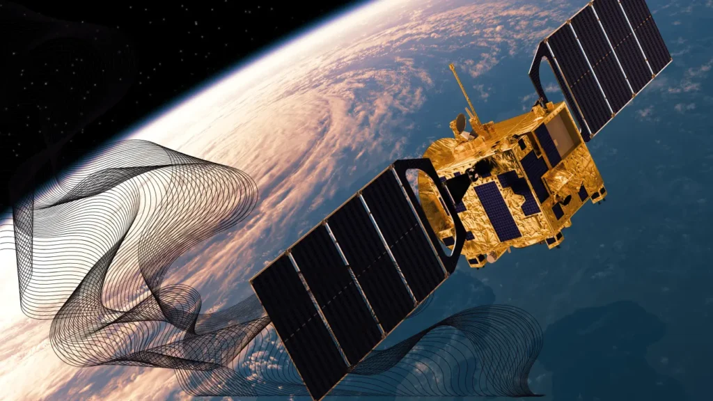
7. The Launch of Landsat Satellites
Landsat 1 and the Beginning of Civilian Sensing
In 1972, NASA launched Landsat 1, the first satellite designed for Earth observation in civilian use. It offered a new window into land cover, agriculture, and forestry.
Impact on Earth Observation
Landsat data revolutionized environmental monitoring, enabling the tracking of urban expansion, resource depletion, and natural disasters over time. The USGS Landsat Program continues to provide this vital data today.
8. Technological Breakthroughs in the 1980s
Digital Sensors
The shift from analog to digital sensors in the 1980s allowed for more precise data collection and real-time analysis.
Multispectral and Hyperspectral Imaging
New sensors began capturing data in multiple wavelengths, enabling detailed classification of vegetation, water bodies, minerals, and more.
9. Remote Sensing in Environmental Monitoring
Deforestation and Desertification
Remote sensing became instrumental in monitoring tropical deforestation, especially in the Amazon and Southeast Asia. Tools like Global Forest Watch use satellite data to track real-time changes in forest cover.
Disaster and Climate Monitoring
Satellites now help detect and respond to natural disasters such as floods, wildfires, and hurricanes, and track long-term climate changes globally.
10. The Role of GPS and GIS Integration
GPS in Remote Sensing
The integration of Global Positioning Systems (GPS) allowed for precise geolocation of remote sensing data, improving its accuracy and relevance.
Geospatial Intelligence Revolution
Combining remote sensing with Geographic Information Systems (GIS) transformed raw images into decision-making tools in fields ranging from agriculture to national security. Esri is one of the leading platforms advancing this field.
11. Commercial Satellite Imagery Evolution
IKONOS, QuickBird, and Beyond
The 2000s witnessed the commercialization of high-resolution satellite imagery. Companies like DigitalGlobe (now part of Maxar Technologies) offered detailed Earth images to civilians for the first time.
Private vs Government Capabilities
Private firms now often surpass government agencies in terms of resolution and accessibility, enabling startups and researchers worldwide.
12. Remote Sensing in Agriculture
Precision Farming Tools
Farmers use drones and satellite imagery to assess crop health, optimize water usage, and enhance yield predictions.
Crop Monitoring and Soil Mapping
Multi-temporal imagery helps identify nutrient deficiencies, pest outbreaks, and soil variability across large fields.
13. The Emergence of UAVs and Drones
Drone-Based Imaging
Unmanned Aerial Vehicles (UAVs) allow low-altitude imaging with extremely high detail, often in real-time.
Benefits and Limitations
While flexible and cost-effective, drones are limited by flight time, regulations, and range.
14. Modern Day Applications Across Industries
Urban Planning
Remote sensing aids in infrastructure development, population mapping, and transportation network analysis.
Mining, Forestry, and Coastal Management
Industries use remote imagery to assess mineral deposits, monitor forest health, and track coastal erosion.
15. Remote Sensing and Climate Change Research
Arctic Ice Tracking
NASA satellites like ICESat monitor sea ice thickness and melting patterns, offering insights into polar climate change.
Sea-Level Rise and Greenhouse Gas Detection
Satellites measure sea level rise, ocean temperature, and even atmospheric gases such as CO₂ and methane.
16. AI and Machine Learning in Remote Sensing
Automated Image Classification
Machine learning algorithms now automatically detect land cover types, urban sprawl, or illegal logging from satellite imagery.
Predictive Modeling and Big Data
AI enhances forecasting and scenario simulation, transforming raw data into predictive models for policymakers and scientists.
17. The Future of Remote Sensing
Emerging Technologies (CubeSats, LiDAR)
Tiny, low-cost CubeSats and high-resolution LiDAR systems promise more granular and frequent Earth monitoring.
Ethical and Privacy Considerations
As imagery becomes ubiquitous, ethical questions about surveillance, consent, and data security must be addressed. Organizations like Electronic Frontier Foundation (EFF) advocate for responsible data use and digital privacy.
Conclusion
History of Remote Sensing
The history of remote sensing reflects a remarkable journey of innovation—from the earliest attempts to observe the Earth from above to today’s satellite and AI-driven technologies. As we’ve explored across 17 major milestones, each phase has contributed to deeper understanding and more effective stewardship of our planet.
What began with simple aerial photography has evolved into a powerful system used to address some of the world’s most pressing challenges—climate change, food security, disaster response, and sustainable development. With the integration of artificial intelligence, machine learning, and geospatial analytics, the future of remote sensing promises even greater insights, faster decision-making, and broader applications.
Understanding this history is not just about appreciating the past—it’s about recognizing the enormous potential this technology holds for shaping a more informed, responsive, and sustainable world.
Pingback: 10 Key Insights Into Rare Earth Minerals You Should Know